
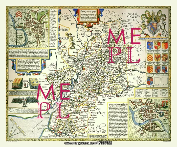
17th Century map of the County of Gloucestershire, England
This map of Gloucestershire 1611 has town plans if Gloucester and Bristol illustrated, including a legend and short history. Also illustrated are coats of arms of the Earls and Dukes of Gloucester, this includes the Royal coat of arms. There are also depictions and details of the battles of Alney and Tewkesbury on this map
Picture No
10825425
Media ID
47607622
Size
9000px x 7500px
(38.3MB)
Credit
Mary Evans Picture Library/Mapseeker Publishing
Source
Originally Published by John Speed, digitally re-mastered from an antique original by Mapseeker Publishing
Date
1611



























