
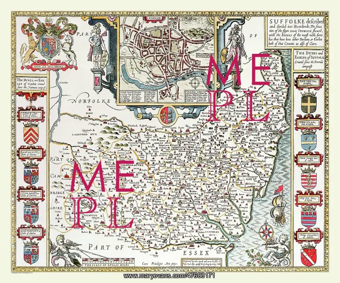
17th Century map of the County of Suffolk, England
On this 1611 map of Suffolk John Speed has placed the town plan of Ipswich in the centre at the top and he has balanced the map with heraldic coats of arms of the most noble families down each side. The River Ouse, River Waveney and River Stour separate Suffolk from its adjoining counties. A beautifully decorated map for your collection
Picture No
10825446
Media ID
47608171
Size
9000px x 7500px
(47.8MB)
Credit
Mary Evans Picture Library/Mapseeker Publishing
Source
Originally Published by John Speed, digitally re-mastered from an antique original by Mapseeker Publishing
Date
1611



























