
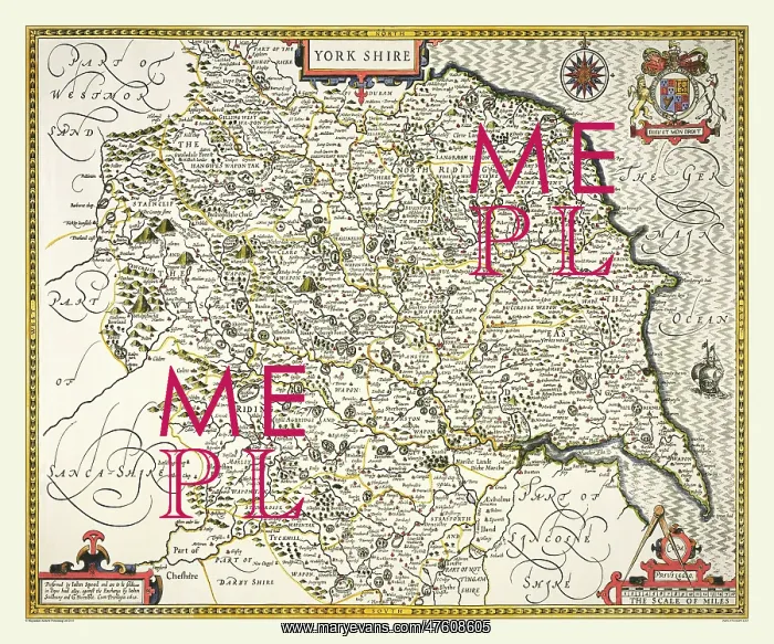
17th Century map of the County of Yorkshire, England
This very detailed map of of the County of Yorkshire 1611 covers the West, North and East Ridings giving little room for extra decoration.It has a compass rose and the Royal Coat of Arms
Picture No
10825453
Media ID
47608605
Size
9000px x 7500px
(41.4MB)
Credit
Mary Evans Picture Library/Mapseeker Publishing
Source
Originally Published by John Speed, digitally re-mastered from an antique original by Mapseeker Publishing
Date
1611



























