
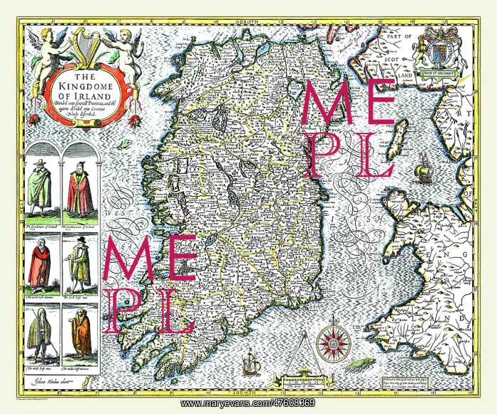
17th Century map of Ireland
A lovely map of'The Kingdom of Ireland divided into several provinces and countries'by John Speed drawn in 1611. Two cherubs are seated above the title cartouche in the left hand corner and below this are drawings showing a man and a woman dressed in the clothes of gentle folk, town folk and country folk
Picture No
10825459
Media ID
47608369
Size
9000px x 7500px
(41.8MB)
Credit
Mary Evans Picture Library/Mapseeker Publishing
Source
Originally Published by John Speed, digitally re-mastered from an antique original by Mapseeker Publishing
Date
1611



























