
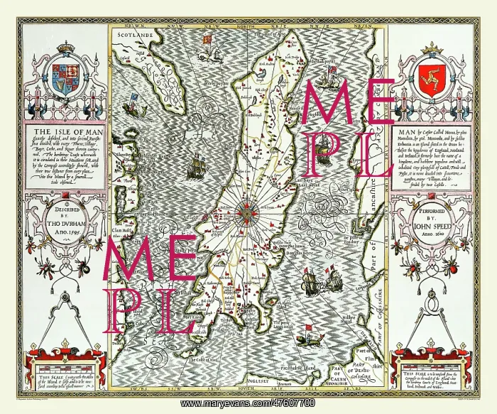
17th Century map of the isle of Man
John Speed's map of the Isle of Man 1610 is positioned between two boarders of decorative strapwork containing the title, coat of arms, descriptive text, dividers and measuring scales. The Island itself is surrounded by ships and sea monsters. A very attractive map
Picture No
10825430
Media ID
47607700
Size
9000px x 7500px
(49.4MB)
Credit
Mary Evans Picture Library/Mapseeker Publishing
Source
Originally Published by John Speed, digitally re-mastered from an antique original by Mapseeker Publishing
Date
1611



























