
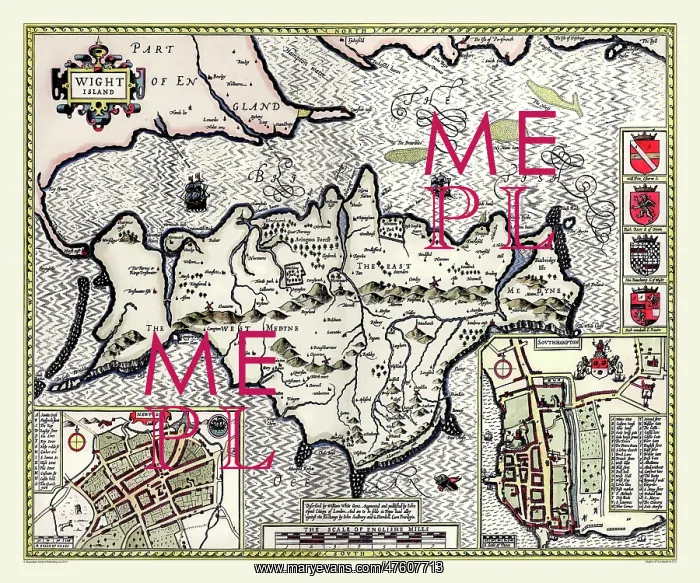
17th Century map of the isle of Wight, England
The 1610 Isle of Wight map by John Speed has Newport and Southampton town plans. Southampton was important because it was the port where the island produce was bought. There are a number of beacons and windmills shown on the island which served as navigational aids. Speed has marked the many rocks around the coast and the high cliffs on the Southern coastline. There are coats of arms on the left side of the map
Picture No
10825431
Media ID
47607713
Size
9000px x 7500px
(34.6MB)
Credit
Mary Evans Picture Library/Mapseeker Publishing
Source
Originally Published by John Speed, digitally re-mastered from an antique original by Mapseeker Publishing
Date
1611



























