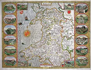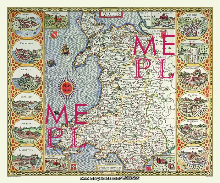
17th Century map of Wales
This superb map of Wales by John Speed 1610 is flanked with bird's eye views of the twelve shire towns including Cardiff, Carmarthen and Cardigan. In the four corners of the map are sketches of the four cathedral cities: Bangor, St Assaph, St Davids and Landaff thus making a very decorative and pictorial map and a must for your collection
Picture No
10825456
Media ID
47608352
Size
9000px x 7500px
(43.9MB)
Credit
Mary Evans Picture Library/Mapseeker Publishing
Source
Originally Published by John Speed, digitally re-mastered from an antique original by Mapseeker Publishing
Date
1611