
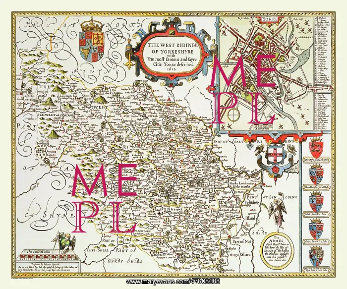
17th Century map of the West Ryding of Yorkshire, England
The scale for this map of the West Riding of Yorkshire 1611 by John Speed is much smaller than usual so it is not quite as clear as some others. It has decorative title cartouche, 24 sites. this is a lovely map for your collection
Picture No
10825454
Media ID
47608638
Size
9000px x 7500px
(62MB)
Credit
Mary Evans Picture Library/Mapseeker Publishing
Source
Originally Published by John Speed, digitally re-mastered from an antique original by Mapseeker Publishing
Date
1611



























