
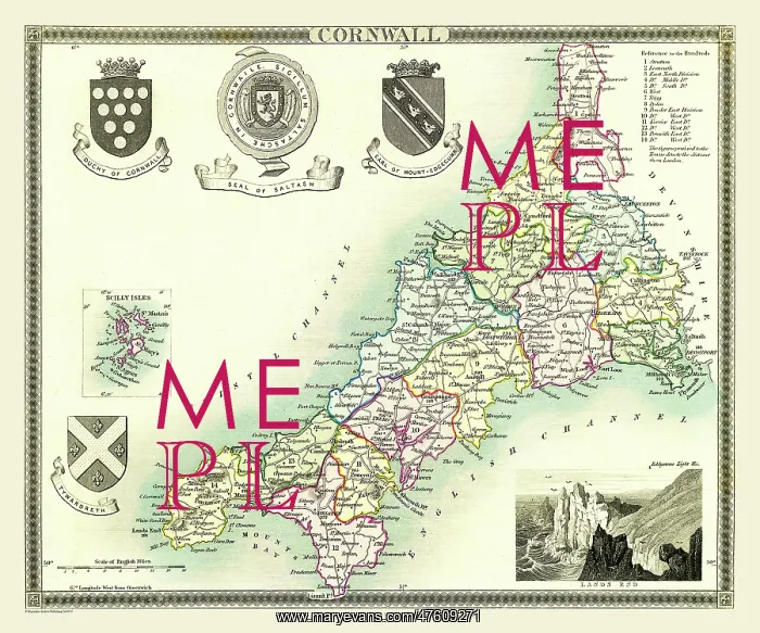
Early 19th Century County map of Cornwall, England
Picture No
10825477
Media ID
47609271
Size
9000px x 7500px
(51MB)
Credit
Mary Evans Picture Library/Mapseeker Publishing
Source
This particular example comes from the earlier Moule's English Counties Delineated (London: 1836) which, as well as being a crisp impression, is in rare original hand colour
Date
1836



























