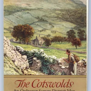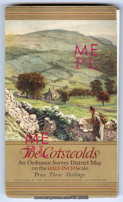
Ordnance Survey District Map - The Cotswolds - half-inch scale
The Cotswolds - An Ordnance Survey District Map on the HALF-INCH scale - 1934 - published by The Ordnance Survey Office, Southampton by authority of the Ministry of Agriculture and Fisheries. Cleeve Hill, Gloucestershire. Crown copyright (expired in 1982)
Picture No
49129955
Media ID
49129955
Size
4584px x 7473px
(30.6MB)
Credit
Ordnance Survey (1932) / Tom Gillmor / Mary Evans
Usage Restrictions
Strictly Editorial Use Only - reproduction must be accompanied by credit to Ordnance Survey (1932)'
Source
Illustration by Ellis Martin (1881-1977), reproduced on An Ordnance Survey District Map on the HALF-INCH scale - 1934 - published by The Ordnance Survey Office, Southampton by authority of the Ministry of Agriculture & Fisheries - Crown Copyright (expired 1982)
Date
1934