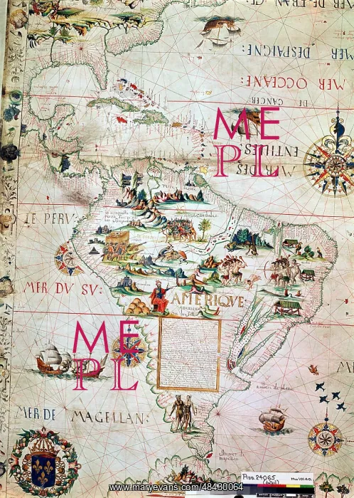
French map of Central and South America, showing
French map of Central and South America, showing Florida, Gulf of Mexico, Caribbean Islands and Antilles, River Plate, Conquistadors in Peru, Cannibals, Gold Mines, Parrots, etc. 1550. British Museum
Picture No
13905612
Media ID
48430064
Size
3202px x 4500px
(3.8MB)
Credit
World History Archive / Mary Evans Picture Library
Source
World History Archive
Pick your License
1550 Antilles Cannibals Conquistadors Gulf Mines Parrots Peru
Features In These Collections
> Contributors > WHA