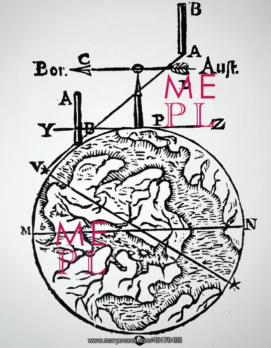
Illustration showing Map making and surveying
Illustration showing Map making and surveying using a magnetic compass. Bor is north and Aust is south. From Athanasius Kircher Magnes: sive de arte magnetica, 1643
Picture No
13912241
Media ID
48478455
Size
4037px x 5195px
(4.8MB)
Credit
World History Archive / Mary Evans Picture Library
Source
World History Archive