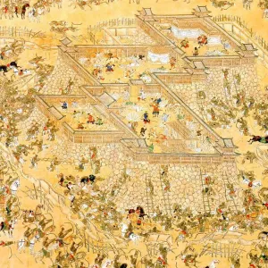
A Korean map from 16th Century Joseon dynasty
A 16th century map of Kyeong-sang-do province from the book Shin-jeung-Dong-guk-yeo-ji-seung-ram (New Revised Edition of Dong-guk-Yeo-Ji-Seung-Ram)which is a Korean geography book that was published by the Joseon dynasty in 1530. The original wooden print is currently in Kyu-jang-gak, the royal library of the Joseon Dynasty, founded in 1776 by order of King Jeong-jo of Joseon
Picture No
13918181
Media ID
48378927
Size
5072px x 4135px
(14.4MB)
Credit
World History Archive / Mary Evans Picture Library
Source
World History Archive