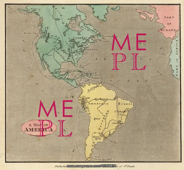
Map of the Americas, circa 1821
Map of the Americas, circa 1821. Showing Labrador, Canada, the United States, Louisiana, Mexico, Brazil, Amazonia, Paraguay, etc. Handcoloured copperplate engraving from Rev. Isaac Taylor's Scenes in America, for the Amusement and Instruction of Little Tarry-at-Home Travelers, John Harris, London, 1821
Picture No
13136143
Media ID
45933251
Size
5953px x 5508px
(10.6MB)
Credit
Florilegius
Source
Mary Evans Picture Library
Pick your License
1821 Americas Amusement Instruction Isaac Tarry Vignette
Features In These Collections
> Contributors > FLO