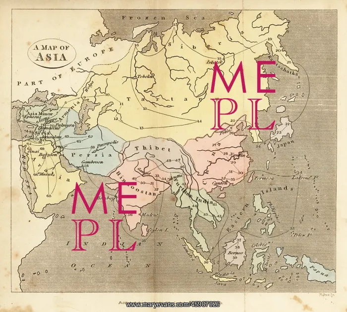
Map of Asia, early 19th century
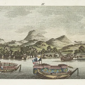
Map of Asia, early 19th century. Showing Asia Minor, Arabia, Persia, Siberia, Tartary, Thibet, Hindoostan, Further India, China, Formosa, Japan. Handcoloured copperplate engraving from Rev. Isaac Taylor's Scenes in Asia, for the Amusement and Instruction of Little Tarry-at-Home Travelers, John Harris, London, 1819
Picture No
13136173
Media ID
45907026
Size
6350px x 5708px
(10.3MB)
Credit
Florilegius
Source
Mary Evans Picture Library
Pick your License
Amusement Camellia Customers Educational Instruction Isaac Shopkeepers Sinensis Tarry
Features In These Collections
> Contributors > FLO