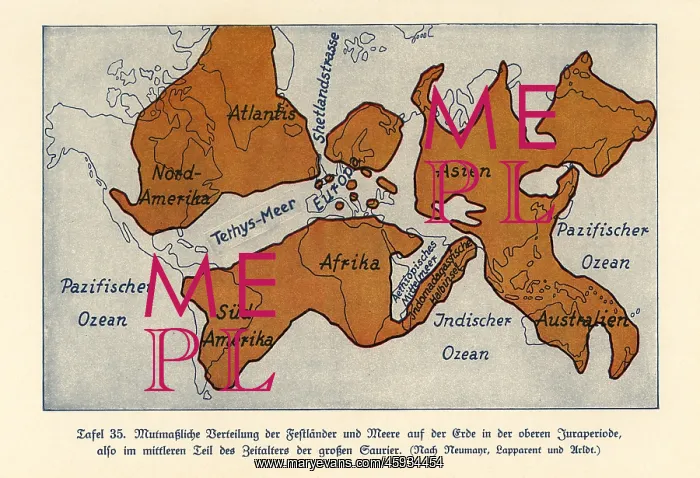
Map of the continents and seas in the Upper Jurassic era
Map of the continents and seas in the Upper Jurassic era. Atlantis, North America, South America, Africa, Europe, Indonesian Peninsula, Asia and Australia. Tethys Ocean, Shetland Strait, Colour print after an illustration from Wilhelm Bolsche's Das Leben der Urwelt, Prehistoric Life, Georg Dollheimer, Leipzig, 1932
Picture No
13133708
Media ID
45934454
Size
6816px x 4655px
(12.6MB)
Credit
Florilegius
Source
Mary Evans Picture Library
Pick your License
Bolsche Brontosaurus Continents Freshwater Leben Maage Prehistory Urwelt
Features In These Collections
> Contributors > FLO