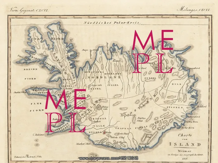
Map of the island of Iceland, 1815
Map of the island of Iceland, 1815. With the town of Reykjavik, volcanic mountains of Hekla, Krafla, Skaftafell, Eyjafjallajokull, etc. Copied from an illustration by cartographer Carl Ferdinand Weiland of Weimar, Verlage des Geograph Instituts, 1815. Handcoloured copperplate engraving from Carl Bertuch's Bilderbuch fur Kinder (Picture Book for Children), Weimar, 1815. A 12-volume encyclopedia for children illustrated with almost 1, 200 engraved plates on natural history, science, costume, mythology, etc. published from 1790-1830
Pick your License
1815 Bilderbuch Fur Kinder Carl Bertuch Cartographer Encyclopedia Engraved Plates Friedrich Johann Bertuch Hecla Hekla Iceland Natural History Picture Book For Children Reykjavik Skaftafell Volcanic
Features In These Collections
> Contributors > FLO