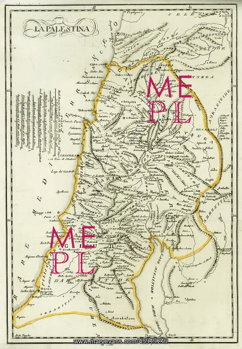
Map of Palestine, circa 1800
Map of Palestine, circa 1800. From Gaza and Ashkelon in the south to Tyre and Sidon (Lebanon) in the north. La Palestina. Handcoloured copperplate engraving after Giulio Ferrario in his Costumes Ancient and Modern of the Peoples of the World, Il Costume Antico e Modern o Story, Florence, 1833
Picture No
13134500
Media ID
45919219
Size
4837px x 6976px
(10.7MB)
Credit
Florilegius
Source
Giulio Ferrario