Map of Senegal and Mauritania, West Africa, 18th century
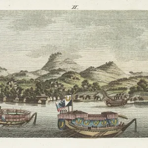
Map of Senegal and Mauritania, West Africa, 18th century. From St. Louis (Senegal) to the Bay of Arguin (Mauritania). Region of the Assounas, Poulahs, and other peoples. Map of the country of the Moors.After Rene Claude Geoffroy de Villeneuve's l'Afrique, Paris, 1814. Handcoloured stipple copperplate engraving from Frederic Shoberl's The World in Miniature: Africa, A description of the manners and customs Moors of the Sahara and of the Negro Nations, R. Ackermann, England, 1821
Picture No
13135816
Media ID
45942992
Size
5501px x 6359px
(7.7MB)
Credit
Florilegius
Source
Rene Claude Geoffroy de Villeneu
Pick your License
Description Enslaved Frederic Geoffroy Manners Mauritania Moorish Moors Nomadic Ropes Sahara Senegal Senegambia Shoberl Stakes Stipple Tethered Villeneuve
Features In These Collections
> Contributors > FLO