Fields of Battle - Ypres
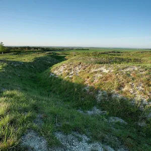
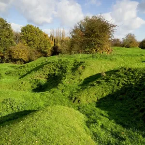
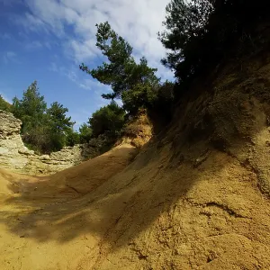
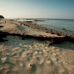
Hill 60, Ypres Situated on the southern rim of the hills to the south-east of Ypres, it was a low ridge some 150 feet high and 250 yard from end to end, formed artificially when the railway cutting was dug, and named after its height in metres on the contour map. This photograph shows the cratered nature of the terrain as a result of all the mining which took place here
Picture No
13923331
Media ID
47827151
Size
1900px x 1267px
(2.2MB)
Credit
westernfrontphotography.com / Mary Evans
Source
Photograph by Mike St Maur Sheil
Date
2005
Pick your License
Artificially Battlefields Contour Cratered Formed Result Ridge Situated South-east Terrain Ypres
Features In These Collections
> Contributors > MST