
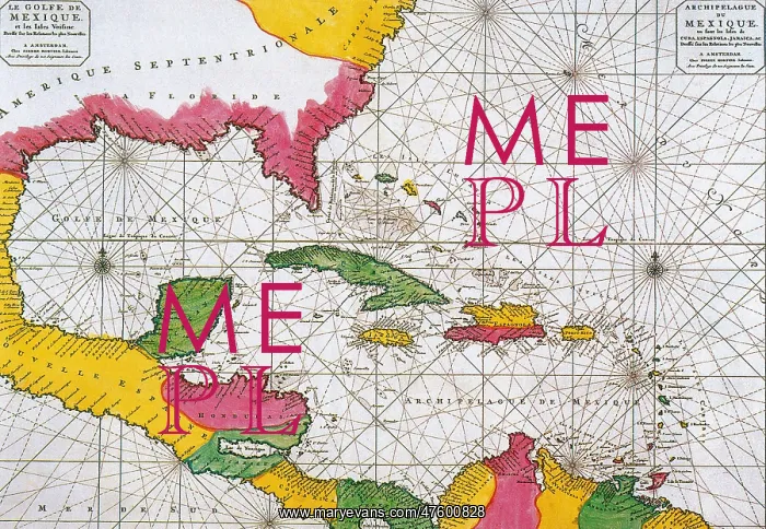
1708 Map of the Spanish Main
A Dutch map of 1708 showing the Spanish Main, the mainland coast of the Spanish Empire, toward the end of the great era of Spanish treasure fleets
Picture No
10799835
Media ID
47600828
Size
4068px x 2811px
(8.3MB)
Credit
©Photo Researchers / Mary Evans Picture Library
Source
Photo Researchers





























