
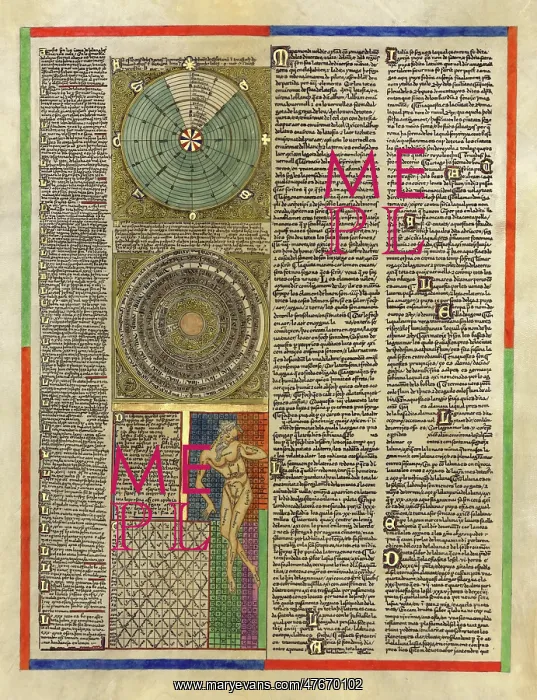
Abraham Cresques, Catalan Atlas, 1375
Mapamondi (more commonly written as mappa mundi referring to any medieval European map of the world). Relief and depths shown pictorially. The Catalan Atlas is the most important map of the medieval period in the Catalan language (drawn and written in 1375). It was produced by the Majorcan cartographic school and is attributed to Abraham Cresques (1325-1387) a master map-maker and builder of clocks, compasses, and other nautical instruments. He was a leading member of the Majorcan cartographic school coined by historians to refer to the collection of predominantly Jewish cartographers, cosmographers and navigational instrument-makers and some Christian associates that flourished in Majorca in the 13th, 14th and 15th centuries until the expulsion of the Jews. It has been in the royal library of France (now the BibliothC que nationale de France) since the time of King Charles V. The Catalan Atlas originally consisted of six vellum leaves (each circa 65cm by 50cm) folded vertically, painted in various colors including gold and silver. These were cut in half later, and mounted on wooden panels enclosed in a leather binding
Pick your License
Restrictions Only for Ireland and United Kingdom
1375 Atlas Cartographic Cartographical Cresques Fourteenth Majorcan Map-making Mapmaking Mappa Mundi Navigational Portolan
Features In These Collections
> Contributors > PHR





























