
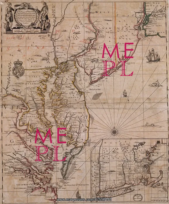
America's East Coast, 1679
Map of Virginia, Maryland, New Jersey, New York, and New England at a latitude of 370 degrees; 1679. Cartographer John Thornton
Picture No
10800912
Media ID
47598141
Size
3462px x 4194px
(10.7MB)
Credit
©Photo Researchers / Mary Evans Picture Library
Source
Photo Researchers





























