
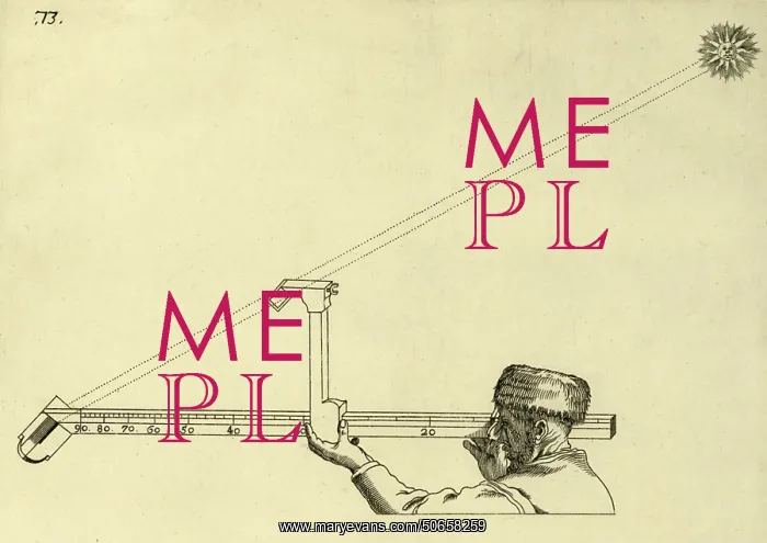
Calculating Sun's Elevation, Dell'Arcano del Mare, 1647
Sketch depicting a method of calculating the sun's elevation. From Dell'Arcano del Mare by English explorer and cartographer Sir Robert Dudley. This 17th-century maritime encyclopaedia contains the first atlas of the whole world and was the first to use the Mercator projection. It was published in Italian at Florence in 1645 and 1646
Picture No
50658259
Media ID
50658259
Size
3600px x 2545px
(965KB)
Credit
© Science Source / Mary Evans Picture Library
Usage Restrictions
No Model Release
Source
Science Source
Date
1647
Pick your License
Restrictions Only for Ireland and United Kingdom
1645 1646 1647 1648 Calculating Dell Dudley Elevation Mare Nautical Navigating Positions Seventeenth Suns
Features In These Collections
> Contributors > PHR





























