
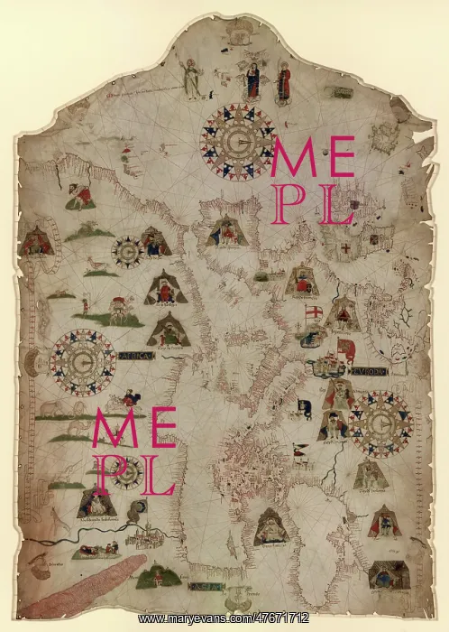
Catalan Map of the Mediterranean and Black Seas, 1559
Chart of the Mediterranean, Black Sea, and the coasts of western Europe and northwest Africa. Mateus Prunes active 1553-99. Catalan titles for illustrations. Oriented with north to the right. Contains 5 wind roses. Pen-and-ink and goauche
Picture No
12696184
Media ID
47671712
Size
3146px x 4425px
(4.3MB)
Credit
LOC/Geography and Map Division/Science Source/Mary Evans
Pick your License
Restrictions Only for Ireland and United Kingdom
1550s 1559 Cartographic Cartographical Map-making Mapmaking Navigational Northwest Portolan Sixteenth
Features In These Collections
> Contributors > PHR





























