
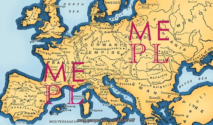
Europe, 15th Century
In Europe, the 15th century is seen as the bridge between the Late Middle Ages, the Early Renaissance, and the Early modern period. In the Age of Exploration, from the 15th century to the 17th century, European cartographers both copied earlier maps (some of which had been passed down for centuries) and drew their own based on explorers observations and new surveying techniques. The invention of the magnetic compass, telescope and sextant enabled increasing accuracy. Image taken from page 52 of Cassell's Illustrated Universal History, 1893. This image has been color enhanced
Picture No
12698276
Media ID
48540147
Size
4800px x 2829px
(2.5MB)
Credit
British Library/Science Source/Mary Evans
Pick your License
Restrictions Only for Ireland and United Kingdom
Cartographic Cartographical Colorised Colorization Enhancement Fifteenth Map-making Mapmaking
Features In These Collections
> Contributors > PHR





























