
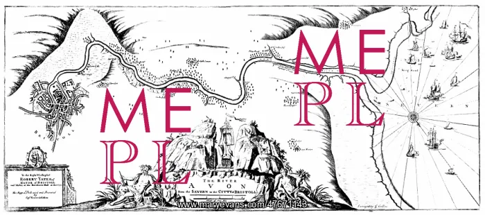
Greenvile Collins, Chart of the Avon, 1693
Greenvile Collins (1643 - March, 25 1694) was an officer of the Royal Navy and prominent hydrographer, who compiled Great Britain's Coasting Pilot, the first survey of the country's coast undertaken by a Briton. Collins began to lobby in 1680 for support for his proposals to undertake an improved survey of the country's coasts. Prior to this time nautical charts were often defective, and there was no centralized system for collecting and disseminating the better maps made by experienced seamen. In the Spring of 1681, Collins gained the king's preferment to survey the country's coasts. For the survey, the Admiralty supplied Collins with the 8-gun yacht HMS Merlin for the first two years and then the yacht HMS Monmouth until 1686. His cousin, Freeman Collins, printed the Coasting Pilot, which Richard Mount sold. Mount's subsequent firm then went on to publish 21 further editions of the pilot throughout the 19th century
Pick your License
Restrictions Only for Ireland and United Kingdom
1690s 1693 Avon Cartographic Cartographical Coasting Greenville Hydrography Map-making Mapmaking Seventeeth
Features In These Collections
> Contributors > PHR





























