
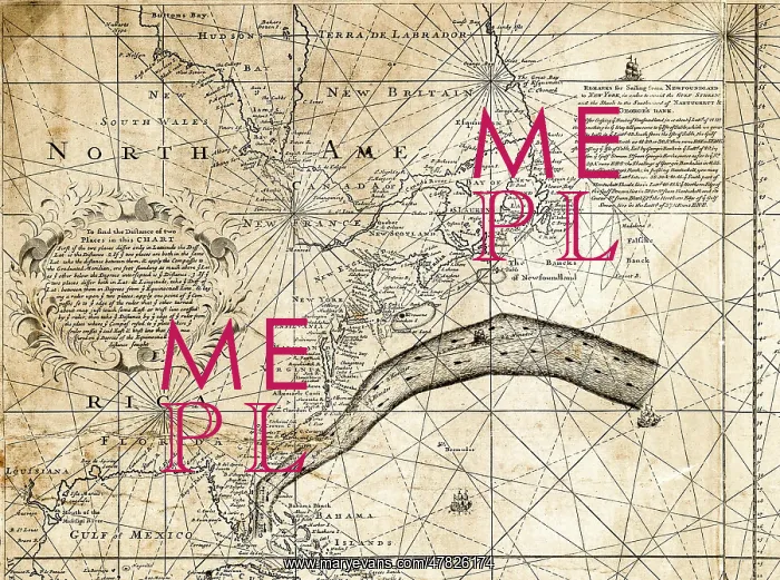
Gulf Stream Map, Franklin-Folger, 1769
This is the upper left portion of the first Benjamin Franklin and Timothy Folger chart of the Gulf Stream, printed in London in 1769
Picture No
14028255
Media ID
47826174
Size
3000px x 2234px
(4.9MB)
Credit
Library of Congress / Science Source / Mary Evans Picture Library
Source
Library of Congress
Date
1769





























