
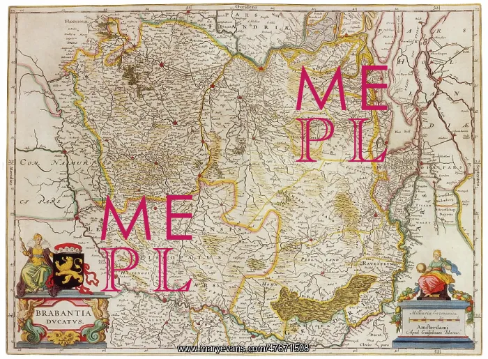
Joan Blaeu, Duchy of Brabant Map, 17th Century
Duchy of Brabant was a State of the Holy Roman Empire established in 1183. It developed from the Landgraviate of Brabant and formed the heart of the historic Low Countries, part of the Burgundian Netherlands from 1430 and of the Habsburg Netherlands from 1482, until it was partitioned after the Dutch revolt. Present-day North Brabant (Staats-Brabant) was adjudicated to the Generality Lands of the Dutch Republic according to the 1648 Peace of Westphalia, while the reduced duchy remained part of the Southern Netherlands until it was conquered by French Revolutionary forces in 1794. Today all the duchy's former territories, apart from exclaves, are in Belgium except for the Dutch province of North Brabant. Joan Blaeu (September 23, 1596 - December 21, 1673) was a Dutch cartographer born in Alkmaar, the son of cartographer Willem Blaeu. In 1620 he became a doctor of law but he joined the work of his father. In 1635 they published the Atlas Novus (full title: Theatrum orbis terrarum, sive, Atlas novus) in two volumes. The Atlas Maior is the final version of Joan Blaeu's atlas, published in Amsterdam between 1662 and 1672, in Latin, French, Dutch, German and Spanish, containing 594 maps and around 3, 000 pages of text. The Blaeu maps emphasized fine art and colors, being the most expensive of the time. The Atlas Maior is widely considered a masterpiece of the Golden Age of Dutch/Netherlandish cartography
Pick your License
Restrictions Only for Ireland and United Kingdom
Atlas Blaeu Brabant Cartographic Cartographical Duchy Dutch Netherlandish Map-making Mapmaking Novus Seventeeth
Features In These Collections
> Contributors > PHR





























