
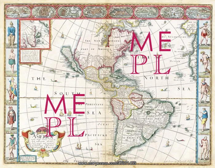
John Speed, The Americas Map, 1626
America with those known parts in that unknowne worlde both people and manner of buildings, 1626. Scale 1:30, 000, 000. Hand colored. The Americas comprise the totality of the continents of North and South America. Together, they make up most of the land in Earth's western hemisphere and comprise the New World. The Americas extend 8, 700 miles from north to south, the climate and ecology vary widely, from the arctic tundra of Northern Canada, Greenland, and Alaska, to the tropical rain forests in Central America and South America. John Speed (1551/52 - July 28, 1629) was an English cartographer, historian and best known mapmaker of the Stuart period His atlas The Theatre of the Empire of Great Britaine was published in 1611 and 1612, and contained the first set of individual county maps of England and Wales besides maps of Ireland and a general map of Scotland. In 1627, two years before his death, Speed published Prospect of the Most Famous Parts of the World which was the first world atlas produced by an Englishman
Pick your License
Restrictions Only for Ireland and United Kingdom
1620s 1626 Americas Cartographic Cartographical Map-making Mapmaking Seventeeth
Features In These Collections
> Contributors > PHR





























