
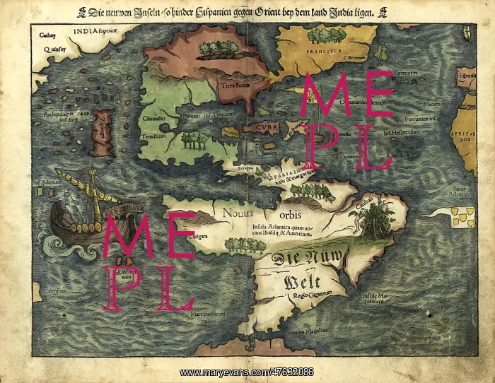
Map of the Americas, 1550
16th century map of the Americas. Published in 1550, this German map shows a rudimentary geography of the newly-discovered Americas. The inscriptions on South America are in German; the other place names are in Latin. Areas explored by the Spanish from the 1490s onwards included Cuba and Florida, as well as Central and South America. The area further north, in North America, was explored by the French in the 1520s and 1530s. To the west, Japan (known to Europeans from 1542) and India are incorrectly shown next to North America. This map, by the German cartographer Sebastian Munster (1489-1552), was published in Basel in an edition of his Cosmographia, the earliest German atlas
Pick your License
Restrictions Only for Ireland and United Kingdom
1500s 1550 Americas Colonies Continent Continental Continents Cosmographia Munster
Features In These Collections
> Contributors > PHR





























