
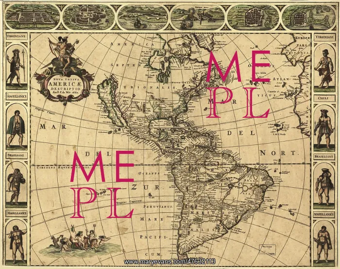
Map of the Americas, 1660
17th century map of the Americas. Published in Amsterdam in 1660, this map by the Dutch cartographer Frederick de Wit (c.1630-1706) shows the geography of the Americas, the New World being explored by Europeans. The exploration of South America was well advanced by this stage, but large swathes of North America had yet to be mapped. The artworks across top show various cities, from left to right: Cusco (Peru); Tenochtitlan (labeled Mexico, now Mexico City); Olinda (Brazil); Havana (Cuba); San Domingo (Hispaniola); and Cartagena (Colombia). The artworks at left and right show natives of Virginia (north-eastern North America), Chile and Brazil, and the Magellanic people of Patagonia
Pick your License
Restrictions Only for Ireland and United Kingdom
1600s 1660 Americas Cartagena Chile Colonies Continent Continental Continents Cusco Domingo Frederik Havana Hispaniola Tenochtitlan Witt
Features In These Collections
> Contributors > PHR





























