
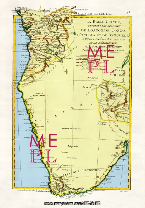
Map of Angola and the Congo, 1788
The Kingdoms of Lower Guinea Including Loango, Congo, Angola, and Benguela with Kaffraria and the West Country of Meridionale or Hotentots, 1788. A general map of Angola and the Congo, showing some relief information. Created by M. Bonne, Ingenieur-Hydrographe de la Marine. This image has been color enhanced
Picture No
12698263
Media ID
48540135
Size
3376px x 4839px
(3.8MB)
Credit
Science Source/Mary Evans
Pick your License
Restrictions Only for Ireland and United Kingdom
1700s 1788 Angola Bonne Cartographic Cartographical Colorised Colorization Congo Congo-kinshasa Eighteenth Enhancement Guinea Imperialism Kaffraria Loango Meridionale Zaire
Features In These Collections
> Contributors > PHR





























