
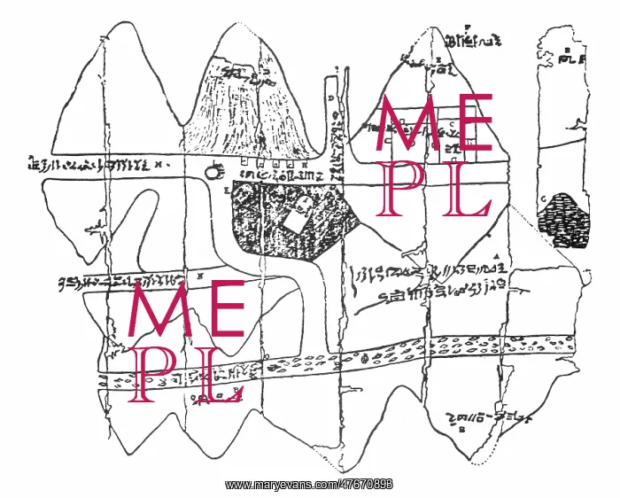
Map of Egyptian Gold Mine, 1320 BC
Examples of maps from ancient Egypt are quite rare. However, those that have survived show an emphasis on geometry and well-developed surveying techniques, perhaps stimulated by the need to re-establish the exact boundaries of properties after the annual Nile floods. The Turin Papyrus Map, circa 1160 BC, shows the mountains east of the Nile where gold and silver were mined, along with the location of the miners shelters, wells, and the road network that linked the region with the mainland. Its originality can be seen in the map's inscriptions, its precise orientation, and the use of color
Picture No
12696134
Media ID
47670893
Size
4200px x 3368px
(2.2MB)
Credit
Science Source/Mary Evans
Pick your License
Restrictions Only for Ireland and United Kingdom
1320 Cartographic Cartographical Egyptology Eighteenth Map-making Mapmaking Xviii
Features In These Collections
> Contributors > PHR





























