
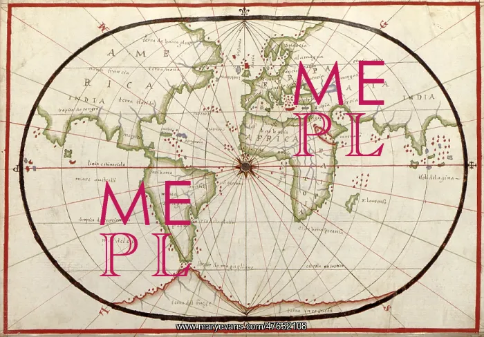
Map of the world, 1590
16th century map of the world. Published around 1590, this map shows the known world, including the new lands being discovered by Europeans exploring across the Atlantic and far to the East around Africa. It forms part of a portolan atlas (a collection of navigational charts) by the cartographer Joan Oliva, who was active from 1580-1615. A central compass rose lies at the meeting point of the Greenwich Meridian and the equator, and lines of longitude are seen radiating from the poles. Although the land shapes are distorted, and the map incorrectly shows southern Asia attached to North America (far left), maps like this were among the best available at the time
Pick your License
Restrictions Only for Ireland and United Kingdom
1500s 1590 Americas Colonies Continent Continental Continents Oliva
Features In These Collections
> Contributors > PHR





























