
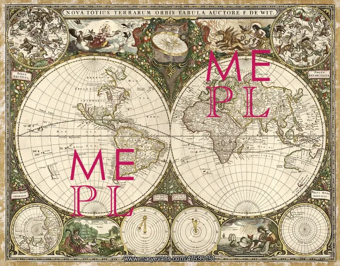
Map of the World, 1660
17th century map of the world. Published in Amsterdam in 1660, this map by the Dutch cartographer Frederick de Wit (c.1630-1706) shows the expanding exploration of the known world. The map divides the Earth into a western and eastern hemisphere. In the upper corners are the constellations of the northern and southern celestial poles, with the geographical poles in the lower corners. Above and below the hemispheres are the Aristotlean elements of Air, Fire, Earth and Water. At upper center is the Sun, with the Earth orbiting on an ecliptic ring of zodaical symbols. At lower center, Ptolemy's geocentric cosmology (left) is contrasted with the heliocentric Copernican cosmology (right)
Pick your License
Restrictions Only for Ireland and United Kingdom
1600s 1660 Americas Antarctic Celestial Colonies Constellations Continent Continental Continents Copernican Copernicus Cosmology Elements Frederik Hemisphere Hemispheres Ptolemaic Ptolemy Witt
Features In These Collections
> Contributors > PHR





























