
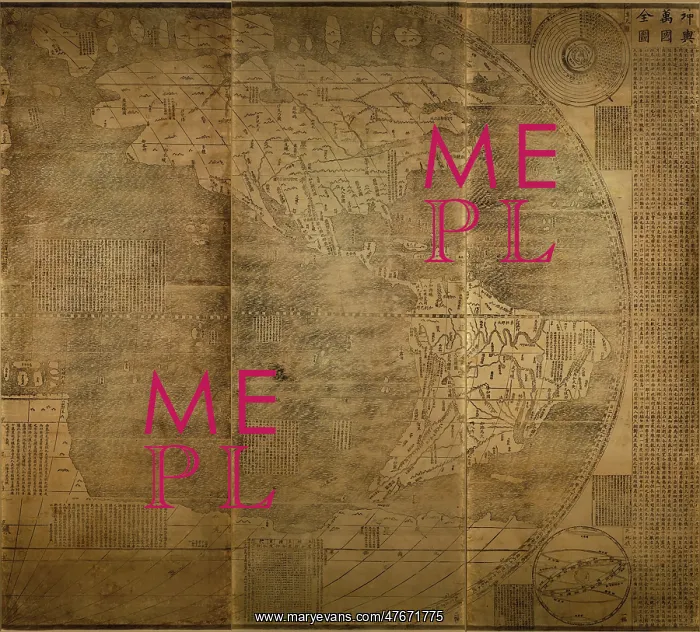
Matteo Ricci, China Map, 1602
Kun yu wan guo quan tu. Great universal geographic map. Matteo Ricci, 1602. Main map shows an oval shaped world map, includes insets of astronomical and seasonal maps. On top right is Seventh Heaven chart; on bottom right is Armillary sphere'; on top left is a map of Northern Hemisphere, Solar and Lunar Eclipse chart; and on bottom left is a map of Southern Hemisphere, map of Chinese 24 seasonal segments calendar and Quantity-day ruler'. Accompanied with explaining text for the map and insets. The map covers five continents and four Oceans, Europe (Ou Luo Ba), Africa (Li Wei Ya), South and North America (Nan Bei Ya Mou Li Jia), Asia (Ya Xi Ya), and Antarctica (Mo Wa La Ni Jia); Atlantic (Da Xi Yang), Pacific Ocean (Da Dong Yang), Indian Ocean (Xiao Xi Yang), and Arctic Ocean (Bing Hai). Matteo Ricci (October 6, 1552 - May 11, 1610) was an Italian Jesuit priest and one of the founding figures of the Jesuit China missions. His 1602 map of the world in Chinese characters introduced the findings of European exploration to East Asia
Pick your License
Restrictions Only for Ireland and United Kingdom
1600s 1602 Astronomical Cartographic Cartographical Map-making Mapmaking Matteo Mattheus Ricci Seasonal Seventeeth
Features In These Collections
> Contributors > PHR





























