
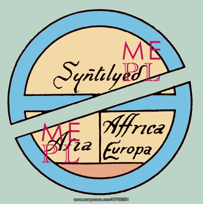
Medieval World, T-O Map
Diagrammatic T-O map. The world portrayed as a circle divided by a T shape into three continents, Asia, Europe, and Africa. At the base of the circle is Gades. A T and O map or O-T or T-O map (orbis terrarum, orb or circle of the lands with the letter T inside an O), is a type of medieval world map, sometimes also called a Beatine map or a Beatus map because one of the earliest known representations of this sort is attributed to Beatus of Licebana, an 8th century Spanish monk. The T is the Mediterranean, the Nile, and the Don (formerly called the Tanais) dividing the three continents, Asia, Europe and Africa, and the O is the encircling ocean
Pick your License
Restrictions Only for Ireland and United Kingdom
Beatus Cartographic Cartographical Colorised Colorization Enhancement Inhabited Map-making Mapmaking Orbis Terrarum
Features In These Collections
> Contributors > PHR





























