
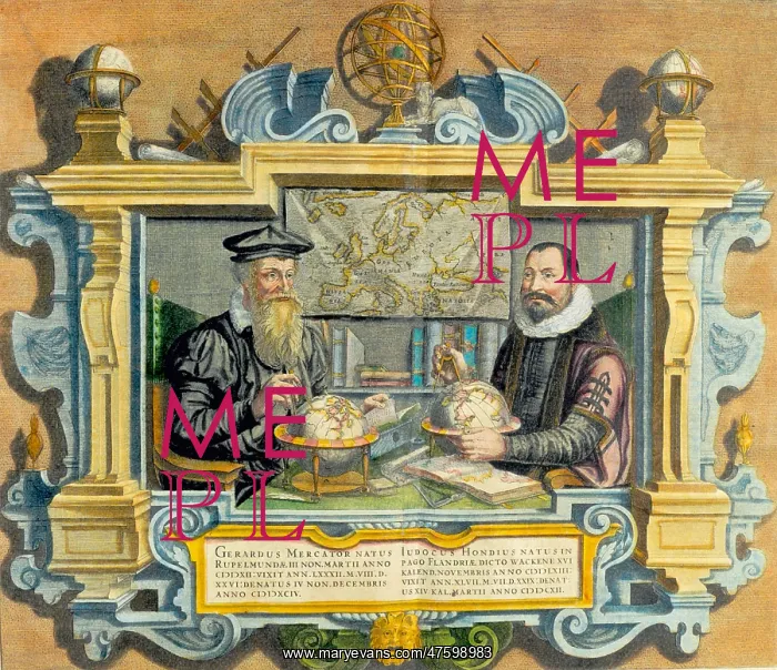
Mercator and Hondius
Double portrait of Gerardus Mercator (left) (1512-1594) and Jodocus Hondius (1563-1612) from the Mercator-Hondius atlas of 1612. Flemish geographer Gerardus Mercator's most enduring contribution was his Mercator Projection or Mercator Chart. The Mercator Projection became the standard map for nautical use because it depicted accurate shapes of land mass and also accurate directions used for determining bearing. It did so at the expense of scale, which was distorted. Jodocus Hondius was a Flemish artist, engraver, and cartographer
Picture No
10799323
Media ID
47598983
Size
2785px x 2400px
(2.8MB)
Credit
©Photo Researchers / Mary Evans Picture Library
Source
Photo Researchers





























