
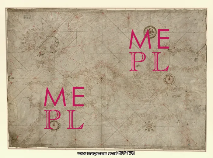
Portolan Chart, Mediterranean and Black Seas, 14th century
Portolan chart of the Mediterranean, the Black Sea, and the coasts of Europe and northwest Africa. Contains 4 compass roses in a circle centered in Italy to the north of Rome and half of a fifth on the trimmed center left edge. Pen-and ink in brown, red, and green, with possible traces of gilding. The chart appears to have been cropped at the left and possibly the right. Portolan charts are navigational maps based on compass directions and estimated distances observed by the pilots at sea. They were first made in the 13th century in Italy, and later in Spain and Portugal, with later 15th and 16th century charts noted for their cartographic accuracy. With the advent of widespread competition among seagoing nations during the Age of Discovery, Portugal and Spain considered such maps to be state secrets. The English and Dutch, relative newcomers, found the description of Atlantic and Indian coastlines extremely valuable for their raiding, and later trading, ships
Pick your License
Restrictions Only for Ireland and United Kingdom
Cartographic Cartographical Compass Directions Fourteenth Map-making Mapmaking Navigational Northwest Portolan Portulan
Features In These Collections
> Contributors > PHR





























