
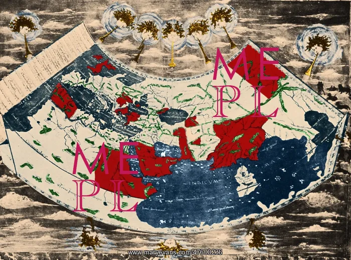
Ptolemy's World Map
A map of the world, taken from Ptolemy's book Geographia. This copy is based on the first printed edition of 1472. The original map was constructed by the Greek astronomer Ptolemy more than thirteen centuries earlier, around 150 AD. 15th century scholars recreated the map using Ptolemy's original instructions in his book Geography. The map shows parts of the three continents (Europe, Asia and Africa) that surround the Mediterranean Sea (blue, upper left). Earlier medieval maps had relied on an inaccurate and mythological geography. The heads surrounding the map represent the winds of the world
Picture No
10801760
Media ID
47600236
Size
3965px x 2935px
(7.8MB)
Credit
©Photo Researchers / Mary Evans Picture Library
Source
Photo Researchers
Pick your License
Restrictions Only for Ireland and United Kingdom
Enhancement Geographia Ptolemaeus Ptolemy Ptolemys
Features In These Collections
> Contributors > PHR





























