
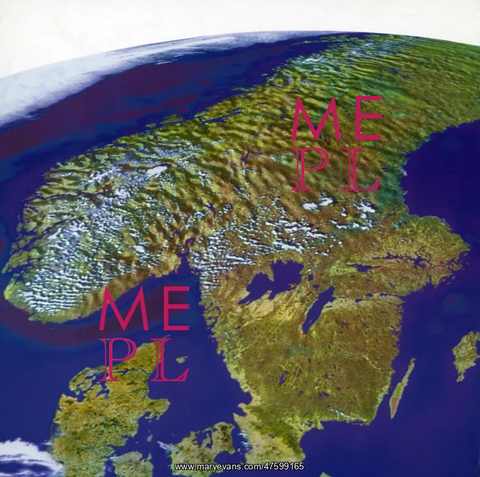
Scandinavia, Composite Satellite Image
Norway and Sweden, on the huge Scandinavian Peninsula, fill most of this composite, along with Denmark, at lower left. The Peninsula lies between the Norwegian and North seas on the west and the Gulf of Bothnia and Baltic Sea on the east. The merging of two sets of data at different resolutions - from NOAA's AVHRR (for the background) and Resur's MSU-SK (for the foreground) - eliminated the out-of-focus effect that sometimes occurs when creating a perspective
Picture No
10799359
Media ID
47599165
Size
3377px x 3357px
(2.0MB)
Credit
©Photo Researchers / Mary Evans Picture Library
Source
Photo Researchers





























