
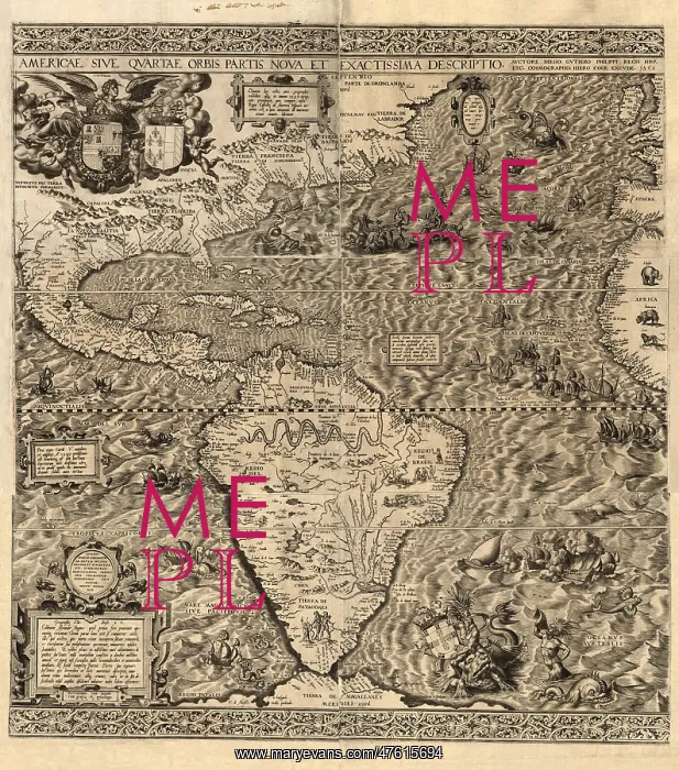
Spanish America, 16th century map
Spanish America. Map of America produced by the Spanish cartographer Diego Gutierrez in 1562. Only two copies of this map are known to exist, one in the US Library of Congress, and one in the British Library. Numerous illustrations show land and sea animals, ships, South American natives, a Mexican volcano, South American rivers (Amazon and Parana) and mountain ranges. The map shows Spanish domains following a 1559 treaty between Spain and France (their coats of arms are both at top left, Spain at left; Portugal's is at lower right). Next to France's coat of arms is a note that says Americus Vespucius discovered America in 1497. The map was engraved by the Flemish artist Hieronymous Cock
Pick your License
Restrictions Only for Ireland and United Kingdom
1500s 1562 Amazon Americas Americus Cock Continent Continents Diagram Diplomatic Gutierrez Hemisphere Hieronymous Inaccurate Incomplete Parana Volcano
Features In These Collections
> Contributors > PHR





























