
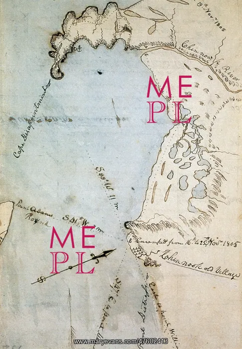
William Clark's Map of Gray's Bay
Map of Gray's Bay, in Pacific and Wahkiakum counties, Washington state, made by William Clark (of Lewis and Clark) in November 1805. The bay was originally mistaken for the Pacific ocean, leading to the moniker of Cape Disappointment visible on the upper left
Picture No
10802803
Media ID
47602413
Size
3057px x 4418px
(4.1MB)
Credit
©Photo Researchers / Mary Evans Picture Library
Source
Photo Researchers





























