
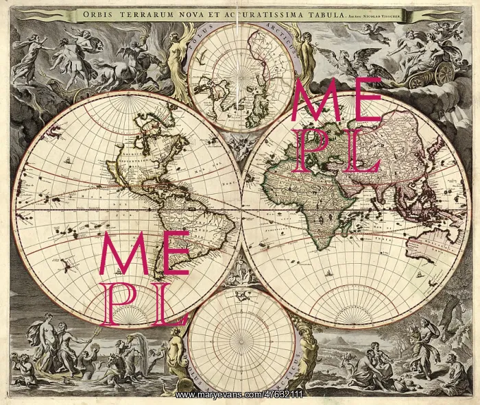
World Map, 1690
17th century map of the world. Published in Amsterdam, this is a 1690 edition of a 1658 map by the Dutch cartographer Nicolaes Visscher (1649-1702). It shows the expanding exploration of the known world. The map divides the Earth into a western and eastern hemisphere. At upper and lower center are the northern and southern polar regions. Antarctica had not yet been discovered, nor had Alaska and eastern Siberia been mapped. The artworks show classical scenes meant to evoke the four Aristotlean elements of Air (Zeus, upper right), Earth (Demeter, lower right), Water (Poseidon, lower left), and Fire (the rape of Persephone, upper left)
Pick your License
Restrictions Only for Ireland and United Kingdom
1600s 1690 Americas Colonies Continent Continental Continents Demeter Elements Nicolaes Persephone Poseidon Visscher Zeus
Features In These Collections
> Contributors > PHR





























