
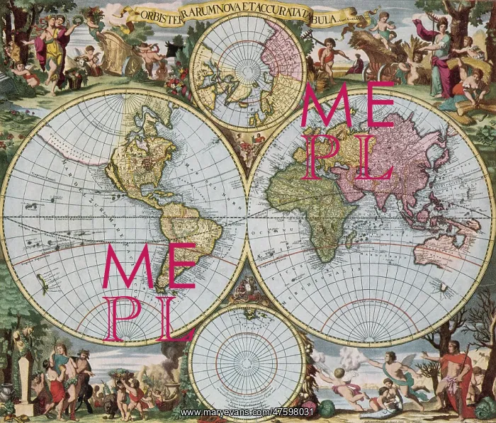
World Map from Schenck's Atlas Contractus, 1690
World map from Schenck's Atlas Contractus, created by Gerard and Leonard Valk, 1690. The map is shown as a Fournier projection, the most common of the day, with separate polar plots. The map shows the extent of contemporary exploration, and some of its errors (California is shown as an island, for example). The map is surrounded by allegorical scenes and references to zodiacal persons and creatures
Picture No
10800885
Media ID
47598031
Size
4034px x 3442px
(11.1MB)
Credit
©Photo Researchers / Mary Evans Picture Library
Source
Photo Researchers
Pick your License
Restrictions Only for Ireland and United Kingdom
1690 Celestial Fournier Hemisphere Projection
Features In These Collections
> Contributors > PHR





























