
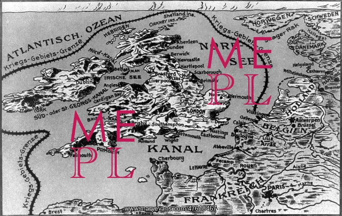
WWI, War Zone Borders
Map with a line, labeled "Kriegs - Gebiets - Grenze", drawn around of Great Britain, Scotland, and Ireland connecting them to the European coast along the English Channel, outlining the theater of war during the First World War. Entitled: Westl. Kriegsschaupl. Karte III. Die Gewasser um Groszbritannien und Irland werden als Kriegsgebiet erklart
Picture No
10978173
Media ID
47618467
Size
4800px x 3027px
(2.4MB)
Credit
© Photo Researchers / Mary Evans~~
Source
Photo Researchers





























