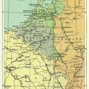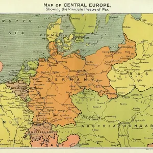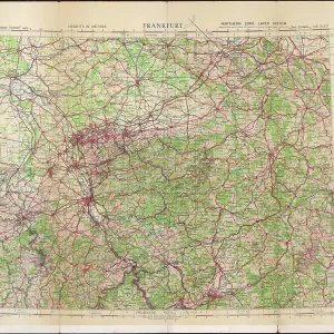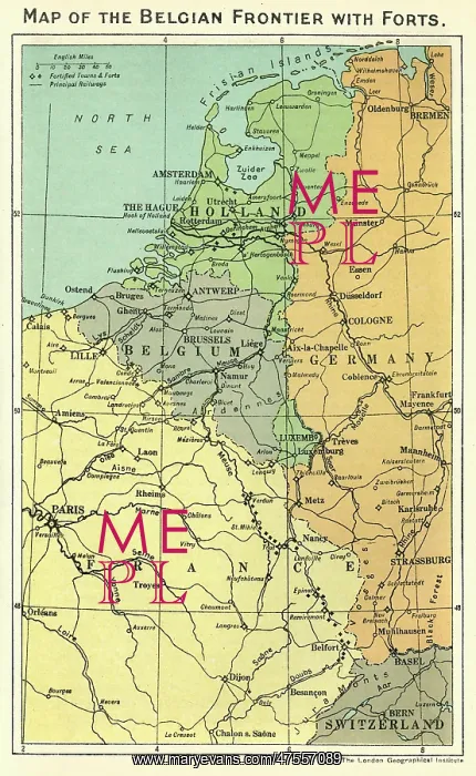
Map of the Belgian frontier with forts, World War One
Map of the Belgian frontier with forts at the beginning of World War One
Picture No
10638714
Media ID
47557089
Size
3000px x 4881px
(2.7MB)
Credit
Mary Evans Picture Library/PHILIP TALMAGE
Source
The History of the Great European War, Stanley Macbean Knight (1914), volume 1, opp. p144
Date
1914