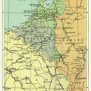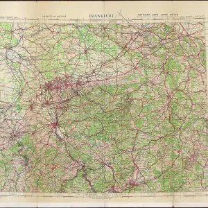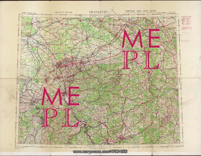
RAF navigator's map of Frankfurt
Ordnance survey map of Germany around Frankfurt, showing the location of Cologne (Koln), Koblenz, Frankfurt and other towns and cities in the area, compiled and drawn at the War Office. The map was used by RAF navigators on bombing raids
Picture No
10439027
Media ID
47534563
Size
8504px x 6574px
(8.5MB)
Credit
Mary Evans Picture Library/Philip Talmage
Source
Original map, published by the War Office, 1940, 2nd edition 1942
Date
1942