
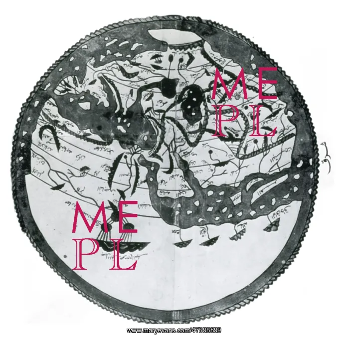
Atlas of Al-Idrisi
Arab geographers understood the outlines of Asia, Europe and North Africa by VI/12th century; their knowledge was summed up by the great atlas of al-Idrisi of 549/1154. It places south at the top; the map is inverted to make it easily recognizable
Picture No
10800169
Media ID
47595899
Size
3772px x 3655px
(1.4MB)
Credit
©Photo Researchers / Mary Evans Picture Library
Source
Photo Researchers
Pick your License
Restrictions Only for Ireland and United Kingdom
Arabic Charts Continent Continental Continents Cosmographia
Features In These Collections
> Contributors > PHR





























